On our first full day we drove back to the valley, parked at Curry Village, and walked to Lee and Elaine's RV site in one of the campgrounds. Lee is a park volunteer. Our friends led us on a short walk to Mirror Lake and we continued on the Valley Loop Trail to Snow Creek and back down to their campsite.
 |
| Mirror Lake |
 |
| The Cairn Morgue |
Elaine generously fixed a lovely hot lunch. That lunch was the best meal we had in Yosemite. It was either fast food or take out only at all the dinner locations, there were no places to eat in West Yosemite, and Wawona had yet to open. That first evening we bought some frozen dinner items to supplement our food provisions for our last two nights stuck in West Yosemite.
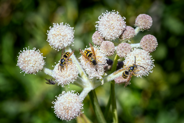
On our second day in the valley we decided that since it was spring and the waterfalls were full we should see them. Our plan was to hike the Mist Trail to Vernal Falls (4 miles round trip with an elevation gain of 1,279 feet). We only had water with us because we didn't plan to do more than the 4 miles. Just before getting to the Mist Trail a volunteer directing trail traffic encouraged us to go all the way to Nevada Falls because it was just 1.3 miles farther.
With Vernal Falls running so fast and full, you get quite wet along that part of the Mist Trail. The morning sun made rainbows in the mist--even double rainbows.
At the top of Vernal Falls we decided to continue the additional 1.3 miles to Nevada Falls. There was a steep rise of another 1000 feet in that 1.3 miles. It was hard, but we made it.
 |
| View of Nevada Falls on the way up |
 |
| View from the top of Nevada Falls |
 |
| Liberty Cap and Nevada Falls from the John Muir Trail |
It was a long, hot day and we were hungry when we walked the additional one mile back to our parking spot. The total walking distance for the day was over 9 miles. We were slow, and it was more of a stumble than a hike. I kept thinking about John Muir's quote about hiking, “I don't like either the word [hike] or the thing. People ought to saunter in the mountains - not 'hike!' On the way down we enjoyed the beautiful dogwood blooms of May.
The last time we visited Yosemite, we didn't have cell phones or other devices so we had no idea that cell coverage is almost non-existent in Yosemite Valley. That must be why at the campground Lee and Elaine were at had actual pay phones. The best cell signal was at the top of Nevada Falls but that's a long way to go to make a cell phone call.
This was the only bear we saw in the park. We saw a few deer but nothing else.
 |
| Don't Leave Food in Your Car! |
 |
| Merced River and Yosemite Falls |
 |
| Bridalveil Fall |
Our last day as we drove toward home we stopped at Tuolomne Grove to see the Giant Sequoias. It is a short hike into the grove, but all uphill on the way out. We saw the Tunnel Tree. It was the hunt for gold in the 1850s that led European Americans into the Grove and prompted the building of Big Oak Flat Road as a route into Yosemite Valley in the 1870s. In 1878, as a tourism gimmick, a stagecoach-sized hole was drilled in a dead sequoia.

 |
| Not a whale but a giant sequoia with distorted cell phone panorama perspective |
After Tuolumne Grove, we visited Hetch Hetchy. It was a long, slow drive but neither of us had ever been there. We had hoped to do a short hike to a waterfall but it was quite warm and the trail was entirely exposed. We had lunch from our ice chest instead. The reservoir provides water to the four-county San Francisco Bay Area.
We have long avoided Yosemite because it is one of those National Parks that has been over visited and way too crowded. This short visit has rekindled our desire to visit again. Next time, we'll stay in the valley and visit at a less congested, if that is even possible, time.
One of the other interesting events for me was the partnership between Viewpoint Gallery and the Crocker Art Museum for a juried show at the Museum. My entry was accepted. The show is available online at: https://www.crockerart.org/collections/viewpoint-photographic-art-center-celebrating-30-years.
I took the photo last year in Western Utah as we headed home from our Minnesota/Ohio road trip.
 |
| Hieroglyphs and Smoke |
In May we had only a few flowers: roses, clematis, and our beautiful but short lived peony flowers. We had strange weather with several days of weather cold enough to have a wood stove fire followed by many 90+ days to end the month.
Pandora and Syd are still hunting lizards and we are still trying to get them released without harm.
With more of our friends being fully vaccinated, we've returned to meeting friends for restaurant lunches and dinners. Pre-pandemic life is coming back gradually.
Mid month the CDC said their research and declining positive cases showed that fully vaccinated persons no longer needed to wear masks or social distance. Masks and social distancing mandates have definitely disappeared in El Dorado County with very few exceptions even though fully vaccinated persons are the minority here. Short memories and as if there was never a pandemic!
There were an additional 331 positive Covid cases and 1 more death in May. The cumulative totals are10295 positive Covid-19 cases and 113 deaths. I believe El Dorado County entered the yellow or moderate tier. No matter, social distancing and masks have mostly disappeared around here despite there being a mere 38.9% of us that are fully vaccinated. The percentage of people who have received at least one dose is 47.5%. Appointments are available and many go unfilled.


Comments
Post a Comment