By the time we arrived at our lodging in the geothermal town of Hveragerði in South Iceland, it was late. It was only about 9:00 pm and still light, but most restaurants were closed. The hotel gave us directions to a pizza restaurant that is open until 11:00 pm. That's the second time we have been deceived by the amount of daylight and realize too late that nothing will be open except pizza joints. So, pizza it was. Restaurants close early here (about like where we live in California) and so do grocery stores. It is common for grocery stores to open about 11:00 am and close about 6:00 pm. When do working people have time to buy groceries?
During our stay in Hveragerði, we hiked the "warm" river trail up (3.2k or almost 2 miles) a mountain to an even warmer part of the river. One of the consequences of all the rain is mud everywhere. Dan's already compromised shoes became part of the weather's collateral damage on this hike. They're not returning to California.
It was fascinating to walk along a river that was steaming most of the way. When we got to the warmer part of the river, we took off our hiking clothes and waded into the stream. It was hot! The spot I began in was too hot for me so we went around the bend and found a slightly cooler bath. The back of my legs looked liked I had gotten the worst sunburn ever--they were lobster red. Dan was happy, though.
We ate lunch at a restaurant that uses only geothermal power to bake its cakes and breads. The ovens are located on the outside of the restaurant. Hveragerði is the geothermal capital of the world with its hot springs harnessed to power ovens, heat greenhouses, furnish hot water, and provide swimming pools for the inhabitants.
Leaving Hveragerði behind, we visited Geysir. Geysir is an Icelandic word from the Norse verb meaning "to gush" that we borrowed when we began putting a name to things like "Old Faithful." The first geyser was named Geysir. Sadly, it has been mistreated by visitors and now only gushes when there is an earthquake. The sign in front of it looks like a tombstone.
A few steps away is a geyser that erupts every 5-10 minutes.
We stopped at a powerful waterfall located just off the highway. This one is called "Gullfoss." It means gold falls.
Near the waterfall, a group of Icelandic horses were waiting to be rented. As soon as the wind came up and the rain began, they all made an about face and pointed their ass-ends into the wind.
Lunch was at a restaurant with a view of Eyjafjallajökull, the volcano that erupted in 2010, and Hekla (1490 m/4887 ft) Iceland's most active volcano. We only saw clouds and fog but our late lunch was great.
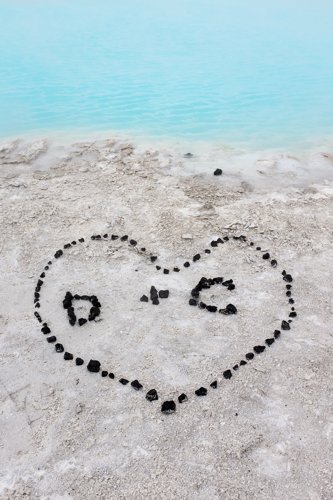
From there, we returned to Reykjavik for our last three nights in Iceland. Our last day with the rental car we drove around Reykjanes Peninsula. We went to the famous Blue Lagoon, but just walked around the trails on the outside of the spa. The pools of water surrounded by the lava flow are a beautiful pastel blue.
Next we visited one of the spots in Iceland where the North Atlantic plate is separating from the Eurasian plate. The speed at which this rift is occurring is 2 meters (78.8 inches) every 100 years. Dan walked over the bridge to North America, and where I was standing on the Eurasian plate it began to rain.
The peninsula's coastline is doted with picturesque lighthouses, horses, and small villages. Every village has a church.
To protect the Icelandic breed from disease, no horses can be imported to Iceland. Once an Icelandic horse leaves Iceland, it cannot return. The colts and fillies we saw are born with very curly manes, tails, and even poodle-curly hair in their ears. They are adorable.
Yesterday, our last full day in Reykjavik, an ogress tried to make Dan her boyfriend; he escaped. It was warmer and in the late afternoon, the sun came out so we had ice cream.
We took in the view from the clock/bell tower in the big Lutheran Church. Every 15 minutes the bells chime. The view of the colorful houses of Reykjavik was stunning.
Yesterday was also Museum Day and the entry to most museums was free. Our favorite museum was the photography museum (always free). The exhibit was photos by journalist/photographer Ragnar Axelsson. His series on disappearing life in the arctic was riveting. There was also a video about his travels to capture these images. I wish I had seen the video before we headed out on our drive around the island then I would have been more flexible regarding our weather experiences.
All in all, the over 3,200 kilometers/1,990 miles of driving around Iceland, the land of ice and fire, was an interesting but challenging experience. Now, we begin our journey back to California the land of drought, forest fires, and more than 38C/100F days--a challenge as well.


Comments
Post a Comment