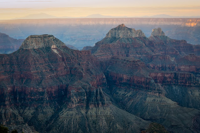
This morning, our last at the north rim, we did get to Bright Angel Point for the sunrise and take photos. It was worth it.

 |
| Bright Angel Fault |
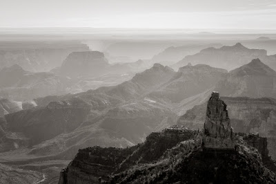
Next we drove to Point Imperial. While it wasn't sunrise, it was still early.
Even the roadside scenery was photo worthy as we drove back though a burn scar and away from Point Imperial.
We drove back to Jacob Lake and headed east on Highway 89A driving past the Vermillion Cliffs to Highway 89 to Highway 64 west to the South Rim. The distance is 209 miles and it is a 4-hour drive. The distance from the North Rim to the South Rim as a raven flies is about 10 miles (16 km), but except for a rim to rim hike, there is no way to reduce the distance. From the east to the west the Grand Canyon stretches 277 miles (446 km) from Lees Ferry (near the Vermillion Cliffs) to Grand Wash Cliffs (east of Lake Mead). It is approximately 1 mile (1l6 km) deep. At 2,600 square miles (6,734 km) the Grand Canyon is slightly larger than the state of Delaware.
We arrived at the South Rim with plenty of time to stop and enjoy the first view at Desert View. This view also offered the best view of the Colorado River that we were to have.
 |
| Desert View Panorama, South Rim |
Besides birds and squirrels, seeing this female elk on the way in was the only wildlife sighting we had.
We checked into the El Tovar Lodge for lodging and dinners for the next four nights.


Comments
Post a Comment